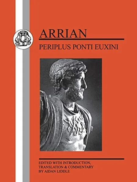
Periplus Ponti Euxini
by Arrian
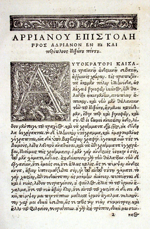
Periplus Ponti Euxini is Arrian of Nicomedia's guide to the Black Sea coast, written in Greek in AD 130 to 131 as a letter to the emperor Hadrian. It surveys the coast from Trapezus to Byzantium, giving distances and harbours. Printed Latin editions date from at least 1577.
- Editions tracked
- 1
Which edition do you have?
Editions
We have not yet researched the issue points for this book. If you know how to tell the first from later printings, tell us and we will credit you once it is checked against a second source.
Awards, adaptations and setting
In print
- Editions recorded
- 5 on Open Library, 1 in English
- Wikipedia
- Articles in 14 languages
From Wikidata and Open Library, both CC0. A prize or a new adaptation often lifts demand for the first printing.
CollectorsNot sure which edition you have, or want to tell other collectors about your copy?
Ask a question
Write a review
Read it or own it? Share what Periplus Ponti Euxini is like to read or collect.
Know what you are looking at
How to Identify a First Edition
To identify a first edition, check that your copy is the first printing of the first edition. Read the copyright …
Read the guide →6 min readBook Condition Grading: Fine to Poor Explained
Book condition grading uses a six-step trade scale: Fine, Near Fine, Very Good, Good, Fair and Poor. Collectors grade the …
Read the guide →7 min readDust Jackets Explained: Why the Jacket Drives a Book's Value
For most books published since the 1920s, the original dust jacket carries a large share of the value, often most …
Read the guide →Frequently asked questions
How many editions of Periplus Ponti Euxini are there?
We track 1 edition of Periplus Ponti Euxini. Each has its own page with how to identify it.
When was Periplus Ponti Euxini first published?
Periplus Ponti Euxini by Arrian was first published in 1577.
Where these facts come from
- Periplus of the Euxine Sea, Wikipedia (en.wikipedia.org)
- Periplus Ponti Euxini, Open Library (openlibrary.org)
Every fact on this page was checked against the sources listed. Checked 28 October 2026. Reviewed by Harriet Ellis; read how we check facts.
More pictures